 View All
Find My District Map


The Challenge
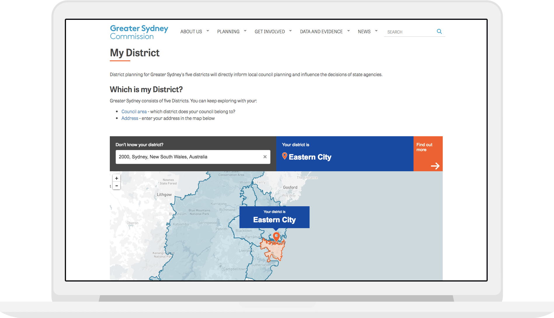
Don’t know which district of Sydney you live in? You’re not alone.
We all know our postcode, our federal electorate, and perhaps our local council area. But districts are a concept used by the Greater Sydney Commission, the organisation tasked by the NSW government to “make Greater Sydney more productive, sustainable and liveable” over the next 20 years.
There’s Western City, Central City, Eastern City, North District and South District, stretching from the Blue Mountains and Campbelltown in the west, the Hornsby and Ku-ring-gai area in the north, and Sutherland in the south.
Our solution
We built a tool that allows people to search within the 5 districts of Sydney. If someone enters a postcode or address outside of these districts, they’ll know the Commission’s plans don’t apply to them.
The tool was responsively designed and developed to be embedded into the Greater Sydney Commission’s website to enable ease of navigation, using OpenStreetMap and Leaflet.
You can read more about Small Multiples' philosophy around designing great map visualisations in Andrea’s article, “What to think about when designing maps”.
Need a map made? Want to work with us (or for us)? Get in contact.
Related projects and articles
-

Andrea Lau in conversation with Andy Kirk: Explore Explain podcast
Article
-
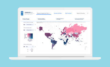
COVID-19 Socio-Economic Recovery Data Insight Platform
United Nations Development Programme
-
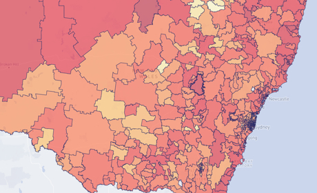
Occupational Risk due to COVID-19 in NSW
Article
-

Mapping all the frogs in Australia
Australian Museum