 View All
Digital Connectivity - Interactive Map


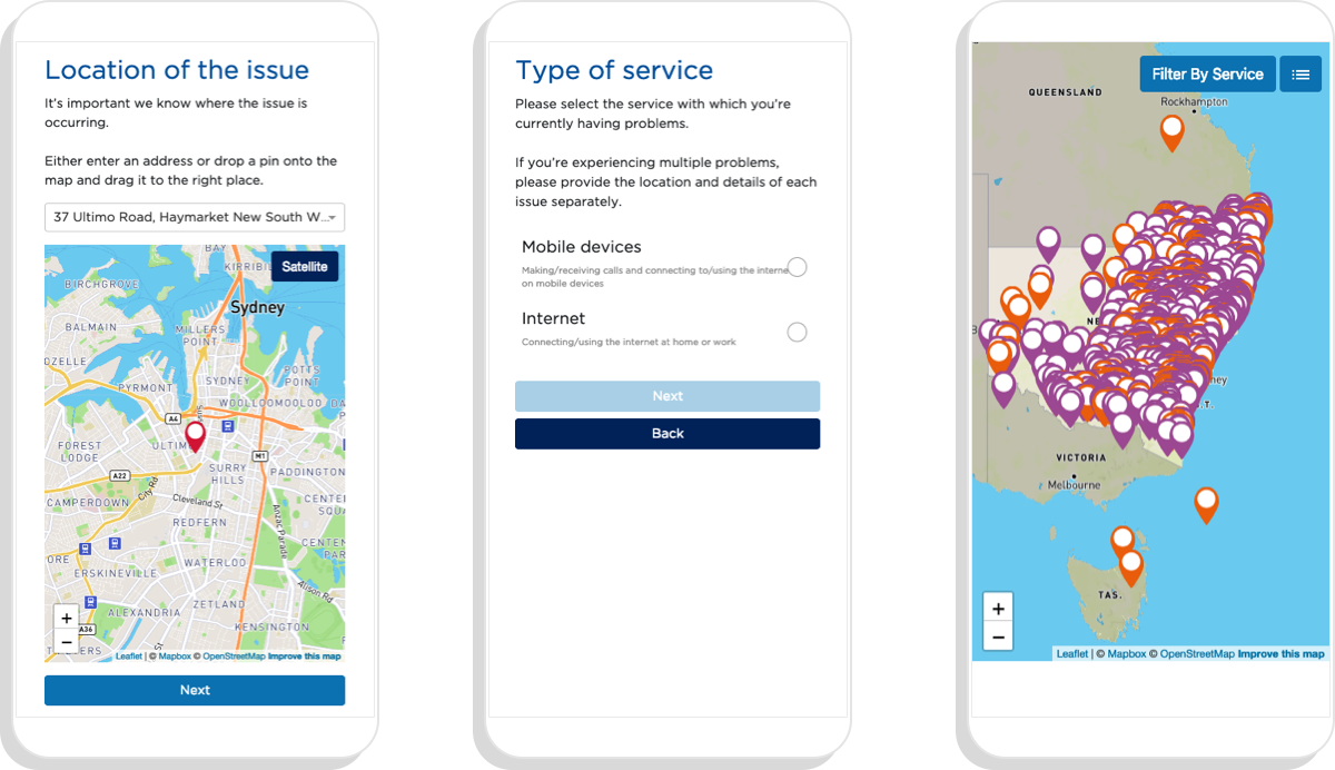
The challenge
The department needed an interactive map that allowed users to log issues with their internet and mobile connectivity. It needed to be mobile friendly and allow users to see other nearby issues as well.
The client wanted a simple way to access the results and download them as a CSV on a regular basis for reporting purposes.
Our solution: a user-friendly interactive map
The map we created allowed people to quickly and simply search for their location, select the type of service they were having an issue with, and see all related issues on a map. The department was then able to view or download the results. The tool was embedded on the nsw.gov.au website.
You can read more about Small Multiples’ philosophy around designing map visualisations in Andrea’s article, “What to think about when designing maps”. Need to make an interactive map? Want to work with us (or for us)? Get in contact.
Related projects and articles
-

Andrea Lau in conversation with Andy Kirk: Explore Explain podcast
Article
-
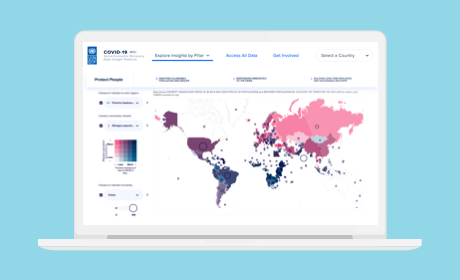
COVID-19 Socio-Economic Recovery Data Insight Platform
United Nations Development Programme
-
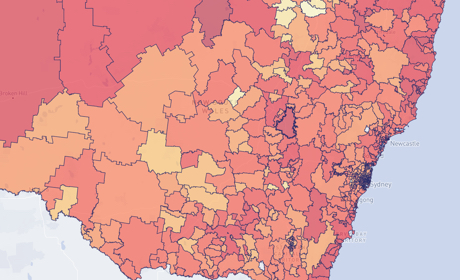
Occupational Risk due to COVID-19 in NSW
Article
-
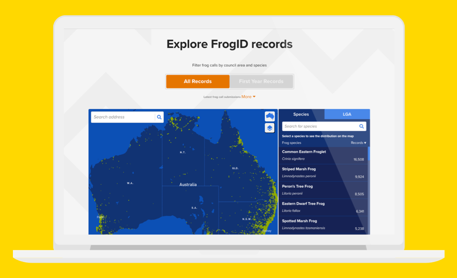
Mapping all the frogs in Australia
Australian Museum