 View All
Building a Better Sydney for Tomorrow


The Challenge: Visualise Tomorrow’s Sydney
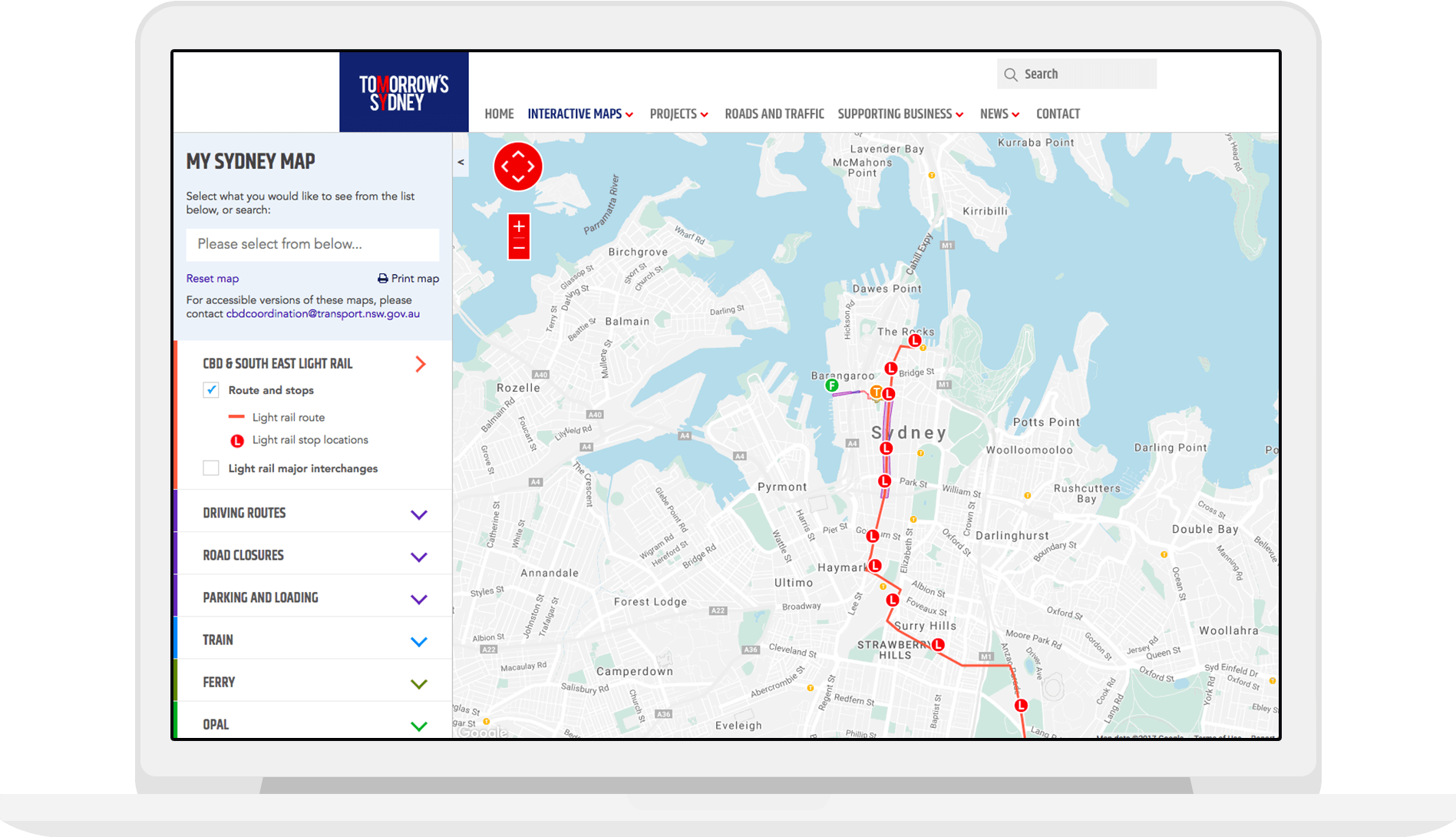
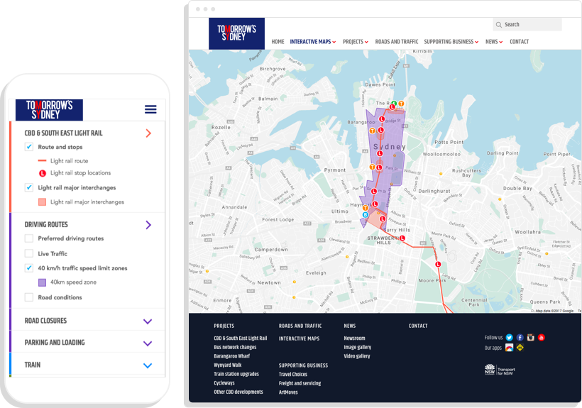
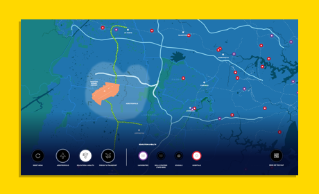
Transport for NSW had to inform the general public about the upcoming major changes to Sydney’s transport system, and needed interactive maps to show people exactly what was happening where.
The maps that we built incorporated a number of interactive apps, which connected to dynamic data sources showing the latest upgrades and disruptions.
Every data layer is searchable and filterable. Services include:
- A Loading Zone Finder tool
- Trip planner
- Bus route finder - that charted the key upcoming changes
- Major project precincts
- New Light Rail routes
- Live Traffic app
- Opal Outlet finder
- Taxi rank finder
- Cycleway finder
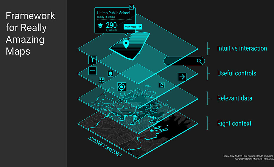
You can read more about Small Multiples’ philosophy around designing great map visualisations in Andrea’s article, “What to think about when designing maps”. We love bringing geospatial data to life with the latest technology. Need a map made? Want to work with us (or for us)? Get in contact.
Related projects and articles
-
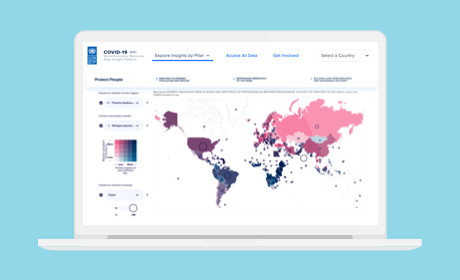
COVID-19 Socio-Economic Recovery Data Insight Platform
United Nations Development Programme
-
Using dot density maps to visualise complex population data
Article
-
What to think about when designing maps
Article
-
Aerotropolis - an interactive touchscreen
Department of Premier & Cabinet