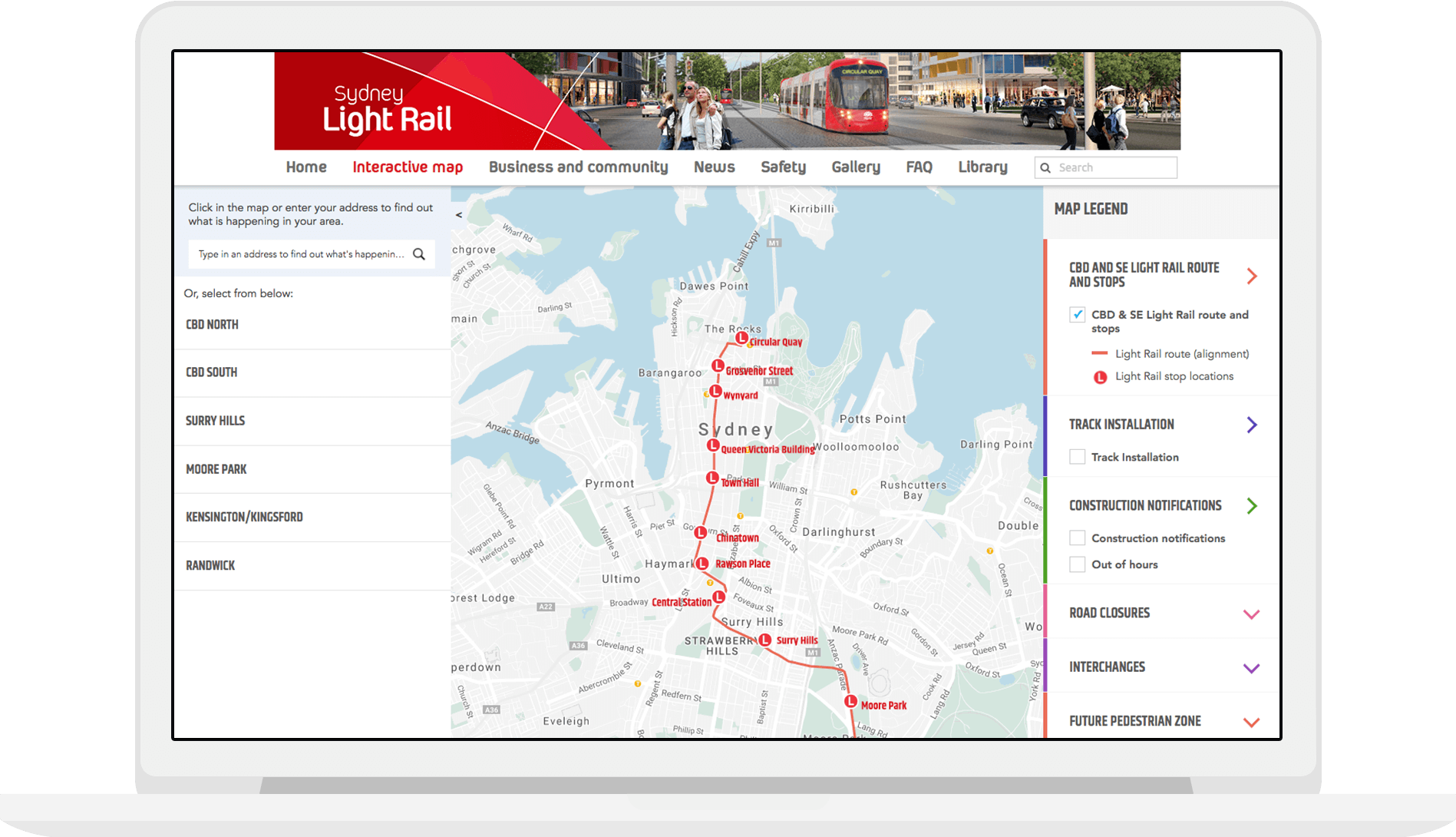
Sydney Light Rail Interactive Map

How to inform the public of light rail developments and the effects on the transport system?
The interactive map includes construction notifications, light rail routes, interchanges, future pedestrian zones and what percentage of track has been installed for each section of the line.
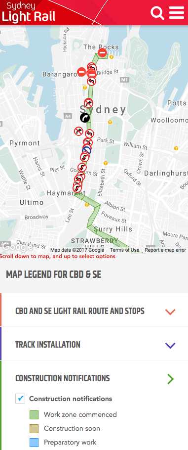
It includes disruption notices for drivers who travel through key parts of the city.
Responsive mobile design was a key aspect for commuters requiring up-to-date information when travelling into and around the city.

 View All


