 View All
Mapping Indigenous Literacy Foundation's Reach and Transformation


The Challenge
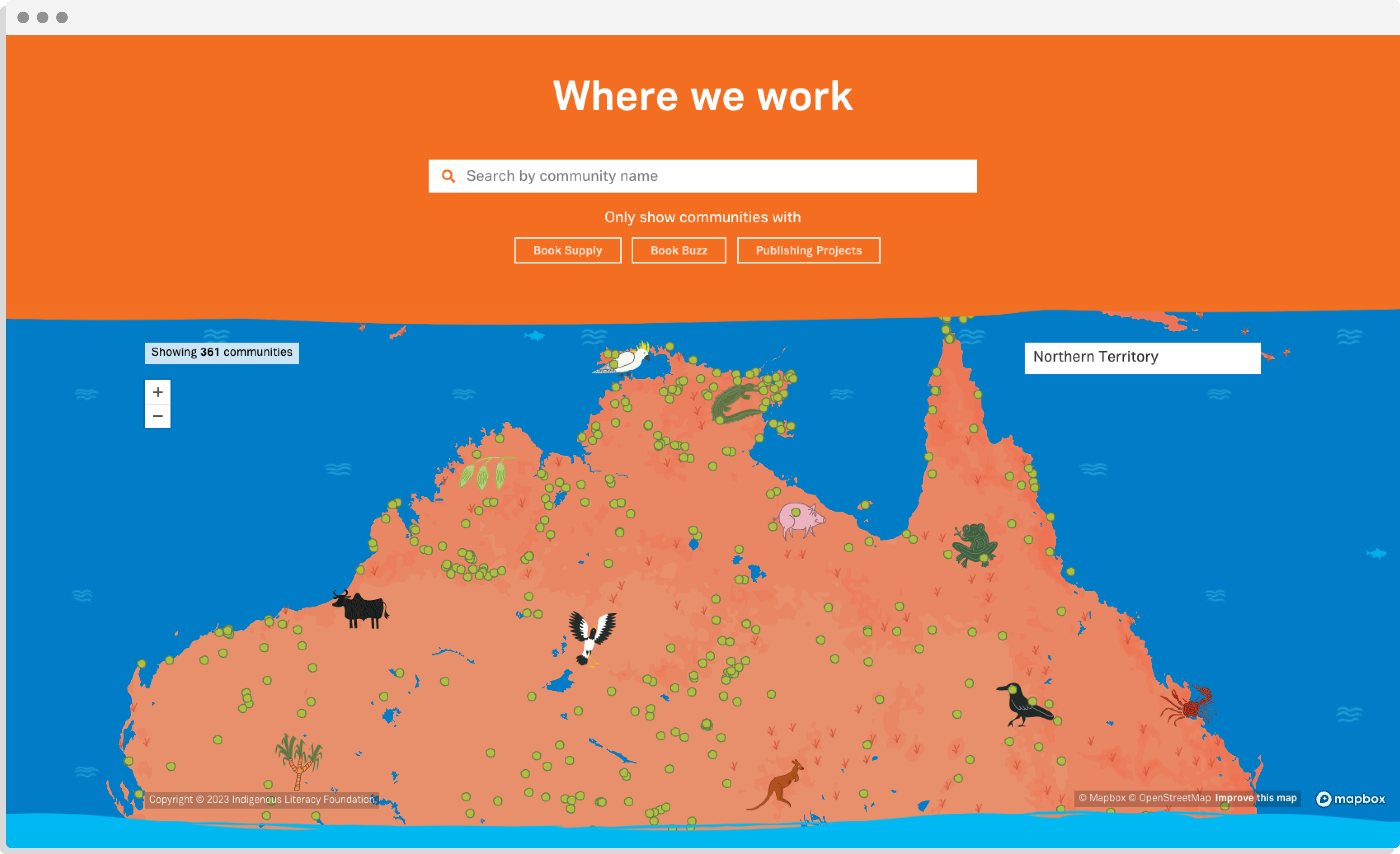
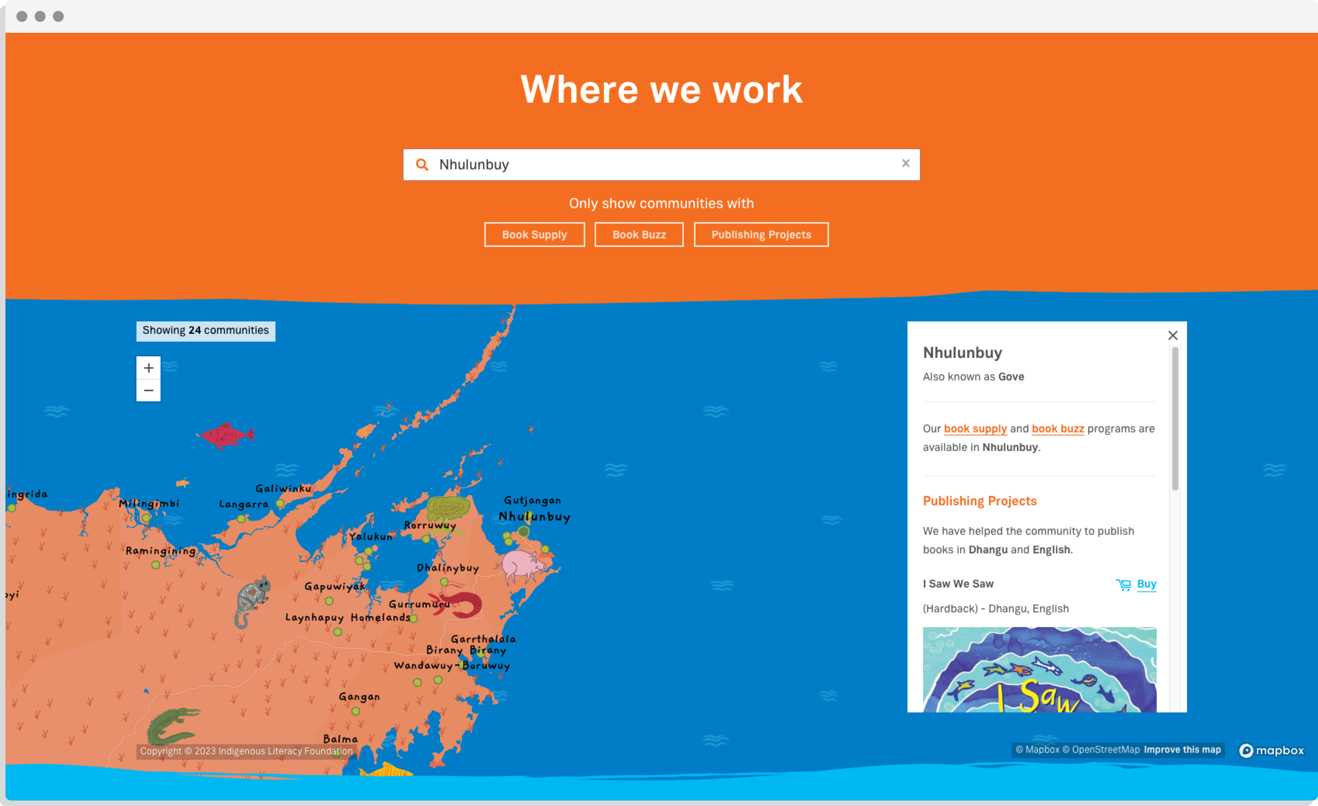
This map provides a snapshot of the work that ILF does in remote communities for people to access information about the resources available to them, and so that ILF can showcase the range of the organisation’s impact across Australia.
The Solution
We meticulously prepared a set of wireframes and a design through developing an understanding of the unique business logic and database structure. Throughout the process, close collaboration with the client allowed us to deliver accurate and compelling content that transformed ILF’s operations data into a beautiful, engaging, and useful map.
Inspired by the famous Picture Book by Mapbox we endeavoured to created a design that would showcase the work of illustrations created during ILF projects, but also a map that would be engaging for communities. We took great care and detail in creating the final bespoke map design.
With a number of different features, you can use the map to see what remote communities ILF works with, books published, and the languages that are used in those areas.
The map is a dynamic resource that ILF can continue to update, in turn empowering remote communities across Australia on their literacy journeys.
Related projects and articles
-
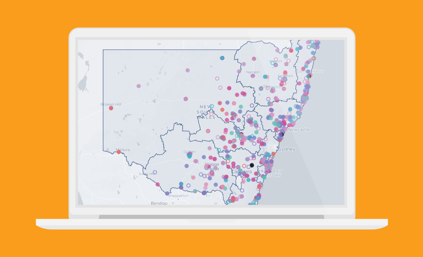
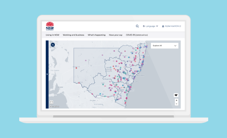
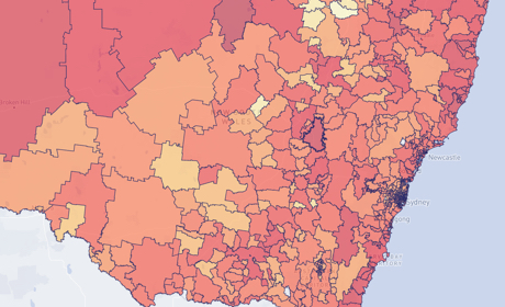
Mapping Project Activities and Funding in Regional NSW
Regional NSW
-
Andrea Lau in conversation with Andy Kirk: Explore Explain podcast
Article
-
Supporting country businesses through bushfires and COVID-19
Department of Regional NSW
-
Occupational Risk due to COVID-19 in NSW
Article